Providing NJ Commercial & Residential
Client-Focused Engineering And Surveying Services Since 1993
Morgan Engineering LLC is a professional organization composed of various civil engineers, planners, land surveyors and landscape architects. We pride ourselves on our collaborative approach with our client partners. In the end, the passion and hard work we put into every project is matched by the dedication and care we pour into our relationships.
From the Jersey Shore to the Highlands, our comprehensive civil engineering services transform raw concepts into resilient, functional infrastructure. We navigate the intricate matrix of municipal zoning, state environmental regulations, and site design to streamline approvals. Whether designing stormwater management networks, commercial site layouts, or complex utility systems, our engineers deliver buildable, cost-effective solutions engineered for longevity.

Civil & Site Engineering
We offer full service civil and site engineering services including:
- Applications and Permitting
- Certified Flood Plain Manager
- Certified Municipal Engineer
- Flood Hazard Areas
- Green Infrastructure
- Land Development
- Landscape Architecture
- Lighting Design Services
- Planning Board Presentations
- Redevelopment Planning
- Site Plans
- Stormwater Management
- Subdivision Plans
- Variances
- Waterfront Engineering
- Zoning Board Presentations
- Zoning Ordinance Review
- Zoning Permit / Denial Services

Surveying Services
Morgan Engineering offers expert surveying services including:
- As-Built Surveys
- ALTA Survey
- Boundary Surveys
- Construction Benchmarks
- Construction Services
- Elevation Certificates
- FAA-Certified Drone Survey
- In-Water Soundings
- Land Survey & Measurement Services
- Mean High Water Line
- NJ State Certified Surveyor
- Roof Height Surveys
- Stake Outs
- Tidelands Surveys
- Title Surveys
- Topographic Surveys
Civil Engineering: Technologies
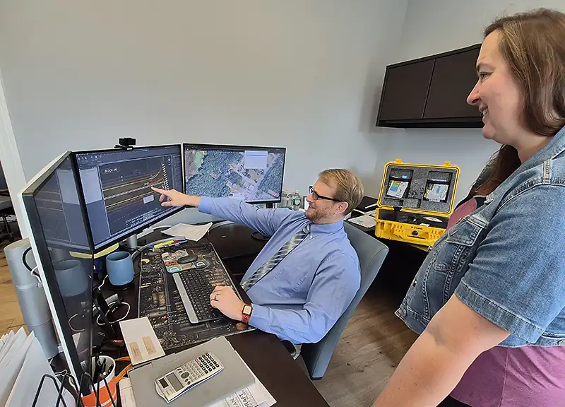
Verifiable Data
Precision measurement forms the bedrock of every successful build, and our survey capabilities extend across land, sea, and air. On the ground, our licensed survey crews utilize high-definition scanning, robotic total stations, and GPS networks to deliver exact boundary, topographic, and ALTA/NSPS land title surveys. We ensure you build on verifiable data from day one.
Marine and Hydrographic Tools
Beyond traditional boundaries, our marine and hydrographic tools maps New Jersey’s intricate coastlines, ports, and inland waterways. Utilizing single-beam and multibeam sonar technology, we provide bathymetric (“in water soundings”) mapping, sub-bottom profiling, and dredging support. These coastal insights allow developers, marine contractors, residential builders, and public agencies to safely execute waterfront infrastructure projects against dynamic tidal environments.
FAA-Certified Aerial Survey Team
To capture the complete picture, our FAA-certified aerial survey team deploys cutting-edge UAVs (drones) equipped with LiDAR and high-resolution photogrammetry sensors. Aerial mapping delivers rapid, accurate topographic models, volumetric calculations, and thermal inspections across expansive or hard-to-reach terrain. This bird’s-eye perspective saves weeks of field time, reduces project costs, and gives stakeholders actionable spatial data.
Sustainable Development
Sustainable development requires a balance of technical precision and natural integration. Our landscape architecture and urban planning teams work in tandem with our surveyors and engineers to craft vibrant, compliant outdoor environments that elevate local communities. At Morgan Engineering, we bring the insight, technology, and regional expertise required to move your project seamlessly from blueprint to reality.